
LiDAR AnnotationFor Smarter 3D AI
Transform raw LiDAR point clouds into structured, machine-learning-ready datasets with accurate 3D bounding boxes, segmentation, object tracking, and sensor fusion annotation.
From autonomous vehicles and robotics to mapping, drones, and industrial AI, Annotexia helps teams turn complex 3D sensor data into reliable training data.
3D Data
Point Cloud Annotation
Turning 3D Sensor Data Into AI Intelligence
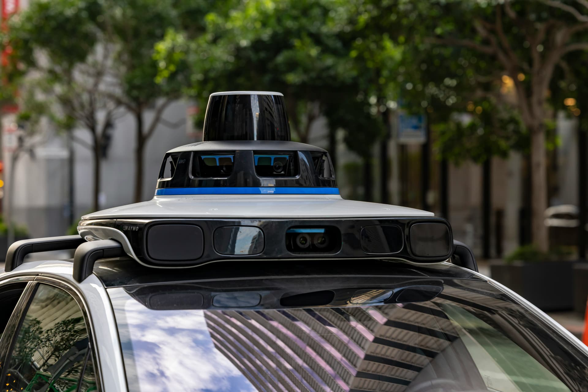
LiDAR sensors generate highly detailed 3D representations of the physical world. But raw point clouds are difficult for machine learning systems to interpret without structured labels.
LiDAR annotation adds meaning to this data by identifying objects, surfaces, movement, and spatial relationships. These labeled datasets help AI systems understand their surroundings and make better predictions.
Complete 3D Point Cloud Annotation
Our annotation workflows can be adapted to different LiDAR sensors, environments, object classes, and machine learning requirements.
3D Bounding Boxes
Precisely identify and label vehicles, pedestrians, cyclists, buildings, machinery, and other objects within 3D point clouds.
Point Cloud Segmentation
Classify individual points or regions to help AI systems understand roads, vehicles, vegetation, buildings, infrastructure, and environments.
Cuboid Annotation
Create accurate 3D cuboids around objects while capturing their position, dimensions, orientation, and spatial relationships.
Semantic Segmentation
Assign meaningful classes to point cloud data for scene understanding, autonomous navigation, robotics, and mapping.
Sensor Fusion
Combine LiDAR with camera and other sensor data to create richer multimodal datasets for advanced AI systems.
3D Object Tracking
Track objects across sequential LiDAR frames to support perception, motion prediction, and autonomous navigation models.
Where LiDAR Annotation Powers AI
Accurate 3D datasets support AI applications across transportation, robotics, mapping, infrastructure, and industrial environments.
Autonomous Vehicles
Train perception systems to detect vehicles, pedestrians, cyclists, traffic infrastructure, and road environments.
Robotics
Build spatially aware robotic systems using accurately labeled 3D environments and objects.
Mapping & Geospatial
Create structured point cloud datasets for mapping, surveying, infrastructure analysis, and digital twins.
Drone & Aerial AI
Annotate aerial LiDAR datasets for surveying, construction, agriculture, inspection, and remote sensing.
Manufacturing
Support industrial automation, inspection, robotics, and spatial quality-control applications.
Smart Cities
Develop AI datasets for urban mapping, traffic monitoring, infrastructure analysis, and intelligent transportation.
A Structured Approach to 3D Data Quality
Reliable AI starts with reliable training data. Our workflow is designed to maintain annotation consistency from project kickoff through final delivery.
Project Understanding
We review your LiDAR data, object classes, annotation requirements, coordinate systems, and expected output format.
Annotation Guidelines
Detailed labeling guidelines are prepared to establish consistent rules for object identification, classification, and edge cases.
3D Annotation
Trained annotation specialists label your point clouds using the required 3D annotation methodology.
Quality Assurance
Annotations are reviewed through structured QA checks to identify missing objects, incorrect classes, alignment issues, and inconsistencies.
Validation & Delivery
Validated datasets are exported in your required format and delivered according to your project specifications.
Built for Reliable AI Training Data
LiDAR datasets can contain millions of points and complex 3D scenes. Small inconsistencies in labeling can affect downstream model performance.
Secure Data Handling
Confidential annotation workflows
NDA Support
Confidentiality requirements can be incorporated into project workflows.
Controlled Access
Project data access can be restricted to authorized annotation teams.
Quality Validation
Structured review processes help identify annotation errors before delivery.
Flexible Data Delivery
We can work with your preferred point cloud and annotation output requirements.
Have a LiDAR Dataset?
Share a small sample of your LiDAR data and project requirements. Our team can help you determine the right annotation approach for your AI application.
Professional LiDAR Annotation Services
Annotexia provides professional LiDAR annotation and 3D point cloud labeling services for organizations developing artificial intelligence, computer vision, autonomous systems, robotics, mapping, and industrial applications.
Our LiDAR annotation workflows support 3D bounding boxes, cuboid annotation, semantic segmentation, point cloud classification, object tracking, and sensor fusion. These datasets can help machine learning models understand complex three-dimensional environments and objects.
LiDAR data annotation is particularly important for autonomous vehicles and advanced driver assistance systems, where AI models need to identify vehicles, pedestrians, cyclists, road infrastructure, and environmental objects from 3D sensor data.
We also support LiDAR applications across robotics, drone mapping, surveying, smart cities, infrastructure inspection, manufacturing, and other computer vision use cases.
If you are looking for a LiDAR annotation partner, contact Annotexia to discuss your dataset, annotation requirements, quality expectations, and delivery format.
Build Better 3D AI With Better Data
From raw point clouds to production-ready training datasets, Annotexia helps AI teams build reliable 3D perception systems.
Talk to a LiDAR Annotation Expert