
Turn Drone Imagery IntoAI-Ready Data
High-quality annotation for drone and aerial imagery used in mapping, surveying, construction, infrastructure inspection, agriculture, remote sensing, and geospatial AI.
From object detection and polygon annotation to semantic segmentation and custom labeling, Annotexia helps transform complex aerial imagery into structured training datasets.
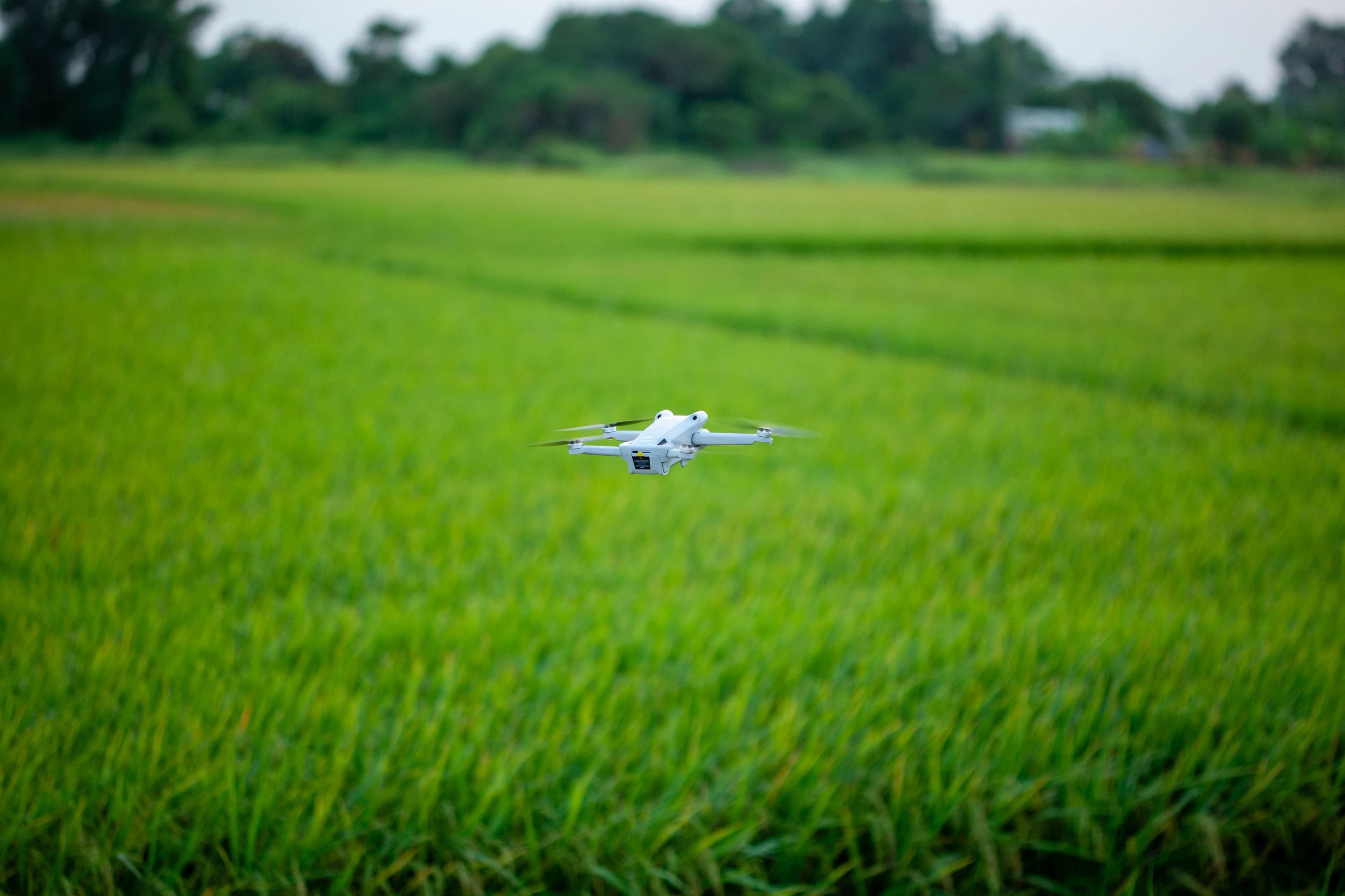
The Sky Captures the Data.Annotation Makes It Useful.
A single drone flight can generate thousands of high-resolution images containing roads, buildings, vehicles, crops, equipment, terrain, and infrastructure.
But raw imagery does not automatically tell an AI model what it is seeing. Accurate annotation transforms those images into structured training data that computer vision systems can learn from.
Drone Data Annotation Services
Choose the annotation methodology that fits your computer vision, mapping, inspection, or geospatial AI application.
Object Detection
Identify and label vehicles, buildings, roads, equipment, vegetation, people, infrastructure, and other objects in aerial imagery.
Polygon Annotation
Create precise polygon boundaries for buildings, roads, fields, rooftops, water bodies, vegetation, and infrastructure.
Semantic Segmentation
Classify every relevant pixel to help AI systems understand land cover, terrain, infrastructure, and environmental features.
Instance Segmentation
Separate individual objects within aerial scenes for accurate counting, monitoring, inspection, and analysis.
Keypoint Annotation
Mark important structural points and landmarks for geospatial computer vision and automated inspection systems.
Image Classification
Categorize aerial images based on land use, infrastructure type, environmental conditions, construction stages, and other project-specific classes.
Where Drone AnnotationPowers AI
Drone imagery is becoming an important source of visual intelligence across industries. Our annotation workflows help organizations turn aerial data into datasets suitable for machine learning and computer vision.
Need a custom annotation workflow? We can adapt labeling guidelines, classes, review processes, and output formats around your AI project.
Aerial Mapping
Create accurately labeled datasets for automated mapping, terrain understanding, object detection, and geospatial analysis.
Infrastructure Inspection
Train computer vision models to identify infrastructure assets, structural issues, damaged components, and maintenance requirements.
Construction Monitoring
Track construction progress, equipment, materials, structures, and site changes using drone imagery.
Agriculture & Precision Farming
Annotate crops, fields, weeds, plant diseases, irrigation patterns, and other agricultural features captured by drones.
Remote Sensing
Build datasets for land-cover classification, environmental monitoring, terrain analysis, and geospatial intelligence.
Asset & Site Monitoring
Support automated monitoring of large facilities, industrial sites, roads, solar farms, warehouses, and other assets.
From Drone Flight toAI-Ready Dataset
A structured workflow keeps annotation consistent, scalable, and aligned with your machine learning goals.
Project Requirements
We understand your imagery, annotation classes, geographic context, labeling requirements, and expected output.
Annotation Guidelines
Our team creates clear project-specific guidelines covering classes, edge cases, object boundaries, and quality standards.
Pilot Annotation
A small sample is annotated first to validate instructions, identify edge cases, and align expectations before scaling.
Production Annotation
Trained annotators process your drone and aerial imagery using the required annotation methodology and tools.
Quality Assurance
Annotations go through structured quality checks, reviewer validation, and correction cycles.
Final Delivery
Validated datasets are delivered in your required format and organized for seamless machine learning workflows.
Quality-Controlled Annotation
Aerial imagery can contain complex scenes, overlapping objects, small targets, unusual perspectives, and difficult boundaries. Our quality process is designed to catch these challenges before final delivery.
Secure Data Workflows
Drone imagery can contain sensitive locations, commercial assets, infrastructure, and operational information. We understand the importance of confidentiality when handling customer datasets.
Annotation Formats We Support
Receive your annotated drone datasets in a format that fits your existing computer vision or machine learning pipeline.
Built Around Your AI Project
Domain-Aware Teams
Annotation workflows designed around the visual challenges of aerial and geospatial datasets.
Scalable Capacity
Support for pilot projects as well as larger production datasets with structured workflows.
Quality First
Review and validation processes help maintain consistency across large datasets.
Flexible Workflows
Custom classes, guidelines, annotation types, and output formats based on your requirements.
Drone Annotation FAQs
What types of drone imagery can Annotexia annotate?+
We can work with a wide range of drone and aerial imagery, including RGB images, high-resolution photographs, mapping imagery, infrastructure inspection images, agricultural imagery, construction site imagery, and other project-specific aerial datasets.
Can you annotate buildings, roads, vehicles, and other objects?+
Yes. We can annotate buildings, roads, vehicles, people, equipment, vegetation, rooftops, infrastructure components, construction materials, and other objects according to your project taxonomy.
Do you support polygon and segmentation annotation?+
Yes. Our drone annotation workflows support bounding boxes, polygons, semantic segmentation, instance segmentation, keypoints, classification, and other custom annotation requirements.
Can you handle large drone imagery datasets?+
Yes. Our annotation workflows are designed to scale from small pilot datasets to large production volumes. We can organize annotation teams and quality control processes around your project requirements.
Which annotation formats do you support?+
We support common formats such as COCO JSON, YOLO, Pascal VOC, JSON, XML, CSV, GeoJSON, and custom formats based on your machine learning or geospatial workflow.
Can you provide a sample annotation before a large project?+
Yes. A sample annotation can be used to evaluate labeling quality, interpretation of your guidelines, consistency, and overall workflow before moving into larger-scale production.
Can you work with confidential drone imagery?+
Yes. We understand that aerial imagery can contain sensitive commercial, infrastructure, or operational information. Project confidentiality and secure data handling can be incorporated into the engagement, including NDA requirements.
Have Drone ImageryReady for Annotation?
Share a sample of your aerial dataset, annotation requirements, and expected timeline. Our team can help you define the right annotation approach for your AI project.
Discuss your dataset • Define your workflow • Scale with confidence
Professional Drone & Aerial Imagery Annotation Services
Annotexia provides professional drone and aerial imagery annotation services for organizations developing computer vision, machine learning, mapping, remote sensing, and geospatial AI applications. Our workflows support object detection, bounding box annotation, polygon annotation, semantic segmentation, instance segmentation, image classification, and custom labeling.
Drone imagery can be used to monitor construction sites, inspect infrastructure, analyze agricultural fields, identify objects, map terrain, monitor industrial facilities, and support a wide range of geospatial applications. Accurate annotation transforms these complex visual datasets into structured training data that machine learning models can use effectively.
Whether you need a small pilot dataset or a scalable production annotation workflow, Annotexia can adapt annotation guidelines, quality processes, workforce capacity, and output formats to your project requirements.